We are always looking for new ways to support our clients here at The CAD Room, and so we are delighted to offer our brand new range of surveying services. Our Survey Manager, Craig Greaves, has over 18 years experience in the sector and is constantly learning about new equipment and technologies to ensure our services are the most effective and efficient they can be.
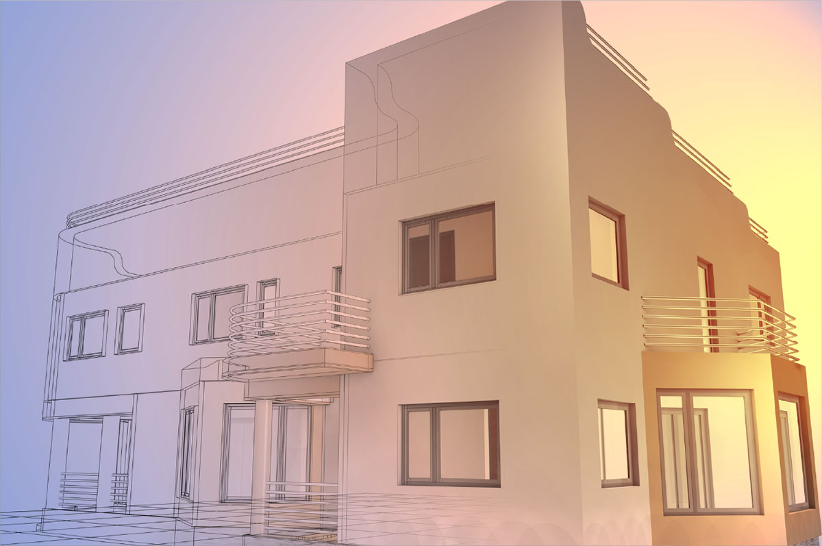
The growing adoption of Building Information Modelling (BIM) by both the construction and property sectors, has meant that quality measured survey data is integral to any successful project. This has led to a steady increase in demand for accurate BIM surveys in a 3D format. An accurate 3D model is essential for BIM Surveys at any stage – right from design through to construction, managing and running of a building, and finally decommissioning.
The surveying services we offer include:
- 3D solids model surveys. A bespoke service using HDR Scanners and Leica Total Stations in order to survey any site and create accurate 3D models. These are really useful, therefore, for projects which involve complex engineering. The advantage of this type of survey is that it can be fitted to existing site control and/or datums and be issued in a variety of formats suitable for importing into various third-party software
- Measured building surveys. This type of survey is used for plotting accurate ceiling plans, floor plans and elevations of existing buildings – and they can be delivered in a 2D or 3D format. This survey can be tailored to fit your budget and requirements
- Pointclouds. We are now able to provide our clients with fully registered pointclouds – either cleaned or uncleaned – along with accompanying registration reports. These are available in a wide variety of formats including .E57 and .PTS to suit any budget or specification
- Survey for BIM. We have been involved in coordinating MEP services for over 10 years, and now with the addition of our surveying department we can complete the full survey to BIM process in-house
- Topographical Survey. These are used to identify and map existing features close to the surface and can also be used to map ground contours. Topographical surveys come in useful for highway design, planning applications and stockpile services
If you have a survey requirement in mind for your project and would like it to be 3D ready so you can integrate it with your other projects more easily, please don’t hesitate to contact us on 0161 427 0348 or email us at office@thecadroom.com.