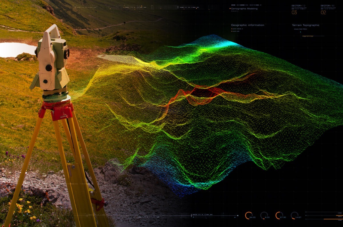
A topographic survey is a survey that records coordinates and height data for a particular survey area. The data collected by a topographic survey can be used to create contour or spot height maps, or even more complex terrain models of the surveyed area.
General principles of a topographic survey
The general principles of a topographic survey are:
- Boundaries – It is vital that topographic surveys record the boundaries of the survey area so that the data can be spatially located, as well as for the management of point collection. Survey boundaries are affected by field boundaries, and so it is crucial these are recorded immediately after instrument setup and orientation.
- Features – The survey area will usually contain archaeological features, buildings or standing remains which you may not want to include with topographic data, so points associated with these features should be separately recorded and assigned point IDs that are different from the IDs of the topographic points.
- Topo Points – The aim of collecting topographical points is to record elevation data for the entire area of the survey. Ideally, points will be collected close together over the entire area of the survey, but this is not always possible and so there are two different strategies that can be used in this case:
- Even coverage – point spacing is approximately equal over the entire area of the survey
- Feature oriented topo survey – a strategy that focuses on areas of archaeological significance or earthworks, collecting data in high density in these areas and a lower density in the surrounding areas
- Breaklines – Features that have clear boundaries or edges are often surveyed using breaking point sequences, allowing us to accurately reconstruct the surface of the feature once back in the office. Surfaces that are created using topographical points only can sometimes dull the effects of boundaries or edges.
Benefits of topographical surveys
Topographical surveys are typically required at the beginning of most construction projects, as they give engineers detailed information about the project and job site they are working on. At The CAD Room, our surveying services mean we have the skills and knowledge in house to undertake all types of surveys to the highest levels of precision; identifying and mapping ground contours, noting the natural and manmade features on the land as well as showing height, location and size of these landmarks, and providing volume calculations for earthworks planning and monitoring.
Benefits of topographic surveys:
- Aid architects, designers, engineers and planners in the early stages of a project’s design and planning
- Demonstrate how the land has altered over time for redevelopment purposes
- Give engineers detailed information about the site and project
- Show detail regarding land features, physical boundaries or the property
Please do not hesitate to get in touch to find out more about The CAD Room’s topographic survey services, or any of our other surveying services.