TOPOGRAPHY
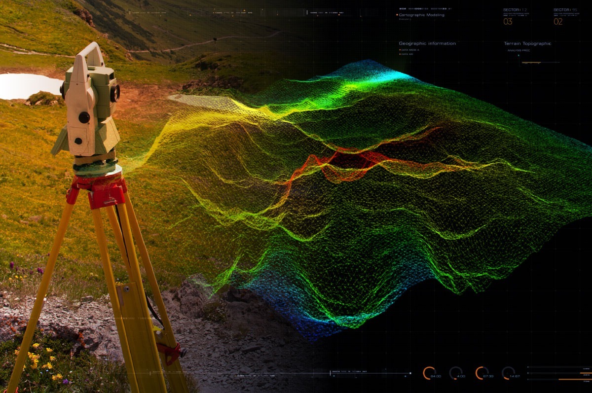
Topographical Surveys are used to identify and then map the contours of the ground and any existing features, including boundary details, drainage details, the footprint of existing buildings and structures, ground surfaces, service covers and trees. All of our surveys include detailed level information.
MEASURED SURVEY & 3D SOLID SURVEY
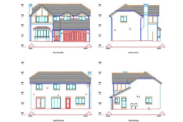
Measured Surveys present the structure of buildings, plus any internal and external features, and services. They are used for many purposes such as lease plans, major refurbishment, space planning and structural redevelopment.


MEASURED SURVEY & 3D SOLID SURVEY
Measured Surveys present the structure of buildings, plus any internal and external features, and services. They are used for many purposes such as lease plans, major refurbishment, space planning and structural redevelopment.

PCL (POINT CLOUDS) & SURVEY TO BIM
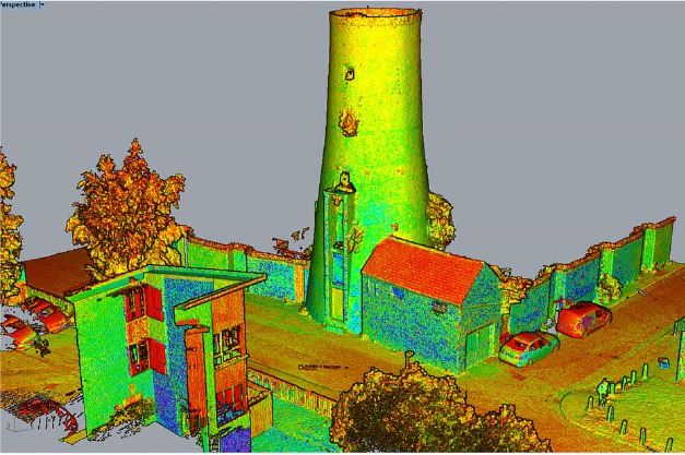
Valid digital data, geometry and information are critical currency in the lifecycle of a building, and The CAD Room is able to provide accurate and valid data, geometry and information in a format that can be used throughout the asset lifecycle.

PCL (POINT CLOUDS) & SURVEY TO BIM
Valid digital data, geometry and information are critical currency in the lifecycle of a building, and The CAD Room is able to provide accurate and valid data, geometry and information in a format that can be used throughout the asset lifecycle.


