16 01, 2024

Elevate Your Project Planning with Topographical Surveys

By |2024-01-16T10:27:41+00:00January 16th, 2024|Surveying Services|Comments Off on Elevate Your Project Planning with Topographical Surveys

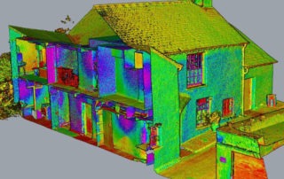
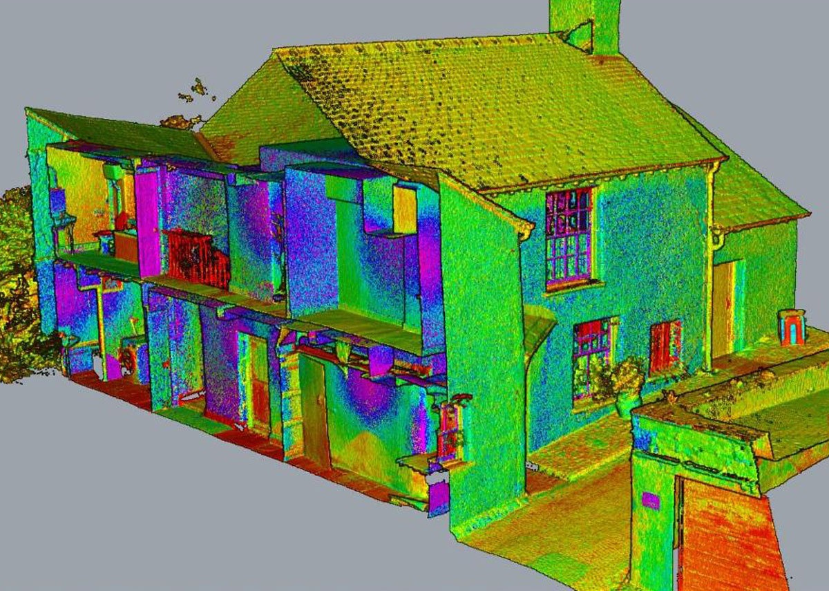
Welcome to The CAD Room, your gateway to precise and comprehensive topographical surveys that redefine accuracy and efficiency in project planning and development. In this blog, we delve deep into the realm of topographical surveys, unravelling their significance, scope, and invaluable role in shaping various projects. Understanding Topographical Surveys Topographical surveys are the cornerstone ...

Read More >

14 08, 2023

Point Cloud Surveys: The Future of Precise As-Built Modelling for BIM

By |2023-07-18T13:33:20+01:00August 14th, 2023|Surveying Services|Comments Off on Point Cloud Surveys: The Future of Precise As-Built Modelling for BIM

A point cloud can be defined as "a collection of data points in space produced by 3D scanners." Laser scanners capture an accurate as-built scan of an area, which we then use to draw the existing structure with the exact dimensions and specifications. The information captured in this scan is then turned into a ...

Read More >

10 07, 2023

Exploring the Role of Topographical Surveys in CAD Room Projects

By |2023-07-17T10:42:16+01:00July 10th, 2023|Surveying Services|Comments Off on Exploring the Role of Topographical Surveys in CAD Room Projects

The CAD Room is a BIM outsourcing company offering BIM-compliant services to the construction industry. Data is vital to any construction project, so having access to accurate data is crucial to success. We use topographical surveys to help us get access to detailed level information about the contours of the ground and any existing ...

Read More >

7 11, 2022

What role do surveyors have to play in BIM transformation?

By |2023-02-23T14:06:32+00:00November 7th, 2022|Surveying Services|Comments Off on What role do surveyors have to play in BIM transformation?

BIM is the foundation of digital transformation in the built environment. This means it has opened up many possibilities for surveyors. In the past, surveying relied on 2D topographic surveys, elevations and floor plans, whereas nowadays, it has moved on to 3D intelligent models, last scanning, point clouds and UAV photogrammetry. The following significant ...

Read More >

10 10, 2022

What is the purpose of a point cloud?

By |2023-06-05T15:55:25+01:00October 10th, 2022|Surveying Services|Comments Off on What is the purpose of a point cloud?

As your professional BIM outsourcing partner, The CAD Room are always on the lookout for services that we can offer you that will enable us to deliver you better results. This is where our surveying services come in. In the past, architects used manual surveying techniques to help create a two-dimensional (2D) set of ...

Read More >

12 09, 2022

What are surveyor services for BIM?

By |2023-06-05T14:43:44+01:00September 12th, 2022|Surveying Services|Comments Off on What are surveyor services for BIM?

There is growing adoption of BIM in the construction sector, as the benefits of a collaborative approach have been clearly shown. This growing use of BIM has also increased the demand for our surveying services, as surveying for BIM can lead to better-informed design decisions. What is a survey for BIM? BIM is the ...

Read More >

13 06, 2022

What is the purpose of a measured building survey?

By |2023-02-23T14:07:07+00:00June 13th, 2022|Surveying Services|Comments Off on What is the purpose of a measured building survey?

We have recently added surveying to our raft of other quality services, including topographical surveying, surveys to BIM and measured surveys. What are measured surveys? The RICS defines measured surveys as "taking measurements of sites of buildings to produce accurate drawings to scale. They are usually specified to an agreed level of detail, acceptable ...

Read More >

6 12, 2021

What is a topographic survey used for?

By |2023-02-23T14:08:11+00:00December 6th, 2021|Surveying Services|Comments Off on What is a topographic survey used for?

A topographic survey is a survey that records coordinates and height data for a particular survey area. The data collected by a topographic survey can be used to create contour or spot height maps, or even more complex terrain models of the surveyed area. General principles of a topographic survey The general principles of ...

Read More >

23 08, 2021

BIM and Surveying: A new opportunity?

By |2023-03-09T14:57:12+00:00August 23rd, 2021|Surveying Services|Comments Off on BIM and Surveying: A new opportunity?

BIM (Building Information Modelling) is one of the biggest opportunities that surveyors have had presented to them in many years. The model-based approach combines both processes and technologies to support the efficient creation and use of information for construction and building operations. Add to this its strong use of spatial information, and you can ...

Read More >

12 07, 2021

Point cloud survey: what is it and how does it work?

By |2023-03-09T14:57:38+00:00July 12th, 2021|Surveying Services|Comments Off on Point cloud survey: what is it and how does it work?

We offer laser scans as one of our surveying services as they are a quick and efficient way to collect extremely accurate data about on-site conditions. This article will explore what laser scanning entails, how point clouds can be used to deliver 3D models, and some of the advantages associated with the “scan to ...

Read More >